#StormGareth – Live Updates
We have a list of Emergency Contact Numbers that you may need during #StormGareth: https://csalert.info/2paNiSg
Keep up to date, and receive instant push notifications for your area by downloading our mobile apps via the App Store & Google Play Store.
![]()
![]()
![]()
![]()
Update: 12/03/2019
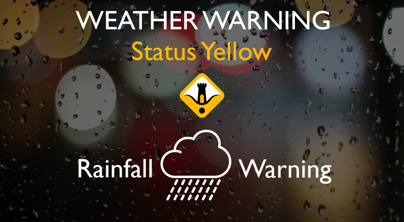
- Westerly winds associated with storm Gareth will reach mean speeds 55 to 65km/h and gusts of 90 to 110km. There is a risk of coastal flooding due to high seas along Atlantic coasts.
Issued/Updated: Tuesday 12 March 2019 16:50.
Valid: Tuesday 12 March 2019 17:00 to Wednesday 13 March 2019 12:00.
11/03/2019 – #StormGareth has been officially named, and is the seventh storm of the season to be named by Met Éireann and the UK Met Office.
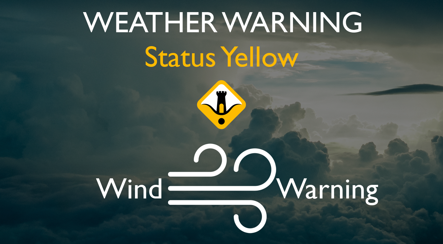
- Wind Warning: Westerly winds will reach mean speeds of 50 to 65km/h and gusts of 90 to 110km. There is a risk of coastal flooding due to high seas along Atlantic coasts. Valid: Tuesday 12 March 2019 12:00 to Wednesday 13 March 2019 12:00
Issued/Updated: Monday 11 March 2019 11:00.
Valid: Tuesday 12 March 2019 12:00 to Wednesday 13 March 2019 12:00.
Latest high resolution charts for #StormGareth showing wind gusts with a rough 48 hours ahead. pic.twitter.com/tAaBZKST7h
— Carlow Weather (@CarlowWeather) March 12, 2019
#StormGareth Advisory Number 3
Max Winds: 90mph
Strength: C1
MSLP: 958mb
Core of Gareth has gained strengthen, as the cyclone will turn into an explosive cyclogenesis over the southern coast of Iceland by Tuesday overnight… pic.twitter.com/GnyzeqeYf3— Joint Cyclone Center (@JointCyclone) March 11, 2019
The @RSAIreland have issued a Road Safety Alert ahead of the arrival of #StormGareth.
Read the full statement here: https://t.co/VdudfuLRRx pic.twitter.com/FWM23cgLyA
— Cork Safety Alerts (@CorkSafetyAlert) March 11, 2019
Rain over the western half of the country will extend to all areas this evening in strengthening southerly winds. Wet and windy weather will continue for a time tonight with showers following later. pic.twitter.com/N7QkAyJzjN
— Met Éireann (@MetEireann) March 11, 2019
#StormGareth Advisory Number 2
Max Winds: 80mph
Strength: C1
The core of Gareth expected to undergoing the rapidly intensification into a bomb-cyclone toward the Northeast Atlantic, just offshore the southwest coast of Iceland in the next few hours… pic.twitter.com/4RxkZkLWO9— Joint Cyclone Center (@JointCyclone) March 11, 2019
#StormGareth is forecast to bring sea swell of over 35ft to the Northwest coast tomorrow with waves up to 30ft high. Risk of coastal flooding with strong to severe onshore winds. Sea forecasts from @magicseaweed pic.twitter.com/bMzbumCcNE
— Carlow Weather (@CarlowWeather) March 11, 2019
#StormGareth has been named by @MetEireann and is forecast to bring strong winds and heavy rain to the UK later on Tuesday and into Wednesday #weatheraware pic.twitter.com/sdpxvNNWy1
— Met Office (@metoffice) March 11, 2019
You can see the large system out to the Northwest which has been named #StormGareth This is a huge low pressure system which will bring heavy rainfall this evening and overnight before damaging gusts arrive in the Northwest tomorrow afternoon. pic.twitter.com/2qDVVfE0EA
— Carlow Weather (@CarlowWeather) March 11, 2019