
By Meteorologist Liz Walsh, 4th Feb 2021
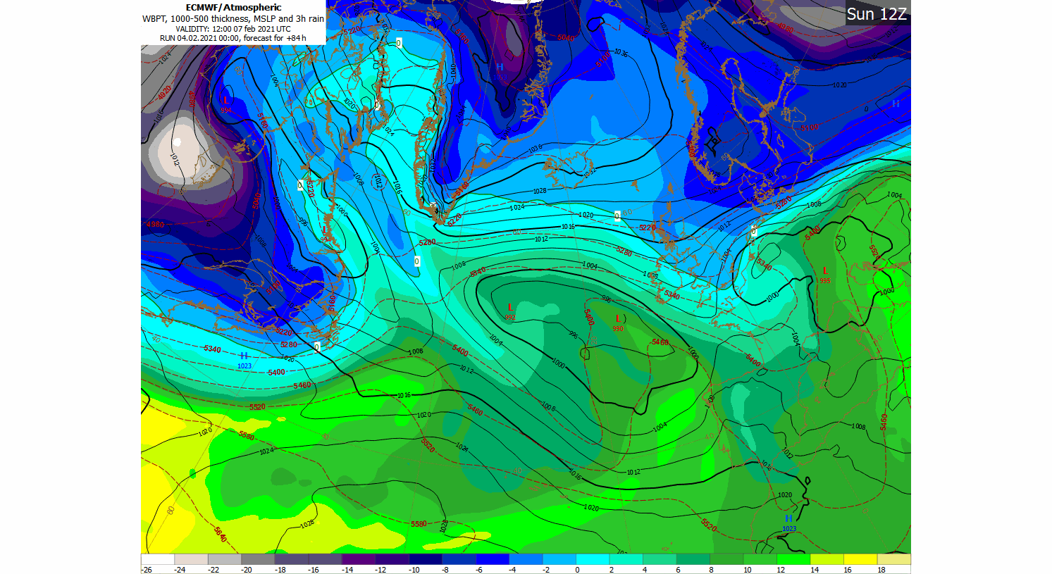
Our weather is expected to turn progressively colder from early on Sunday 7th February, with the cold spell now looking likely to last well into next week. The origin of the cold air over Scandinavia will bring a northeasterly or easterly component to the wind-flow over Ireland. That wind will be especially noticeable on Sunday and Monday with gusty east to northeast winds likely to produce a significant wind-chill factor.
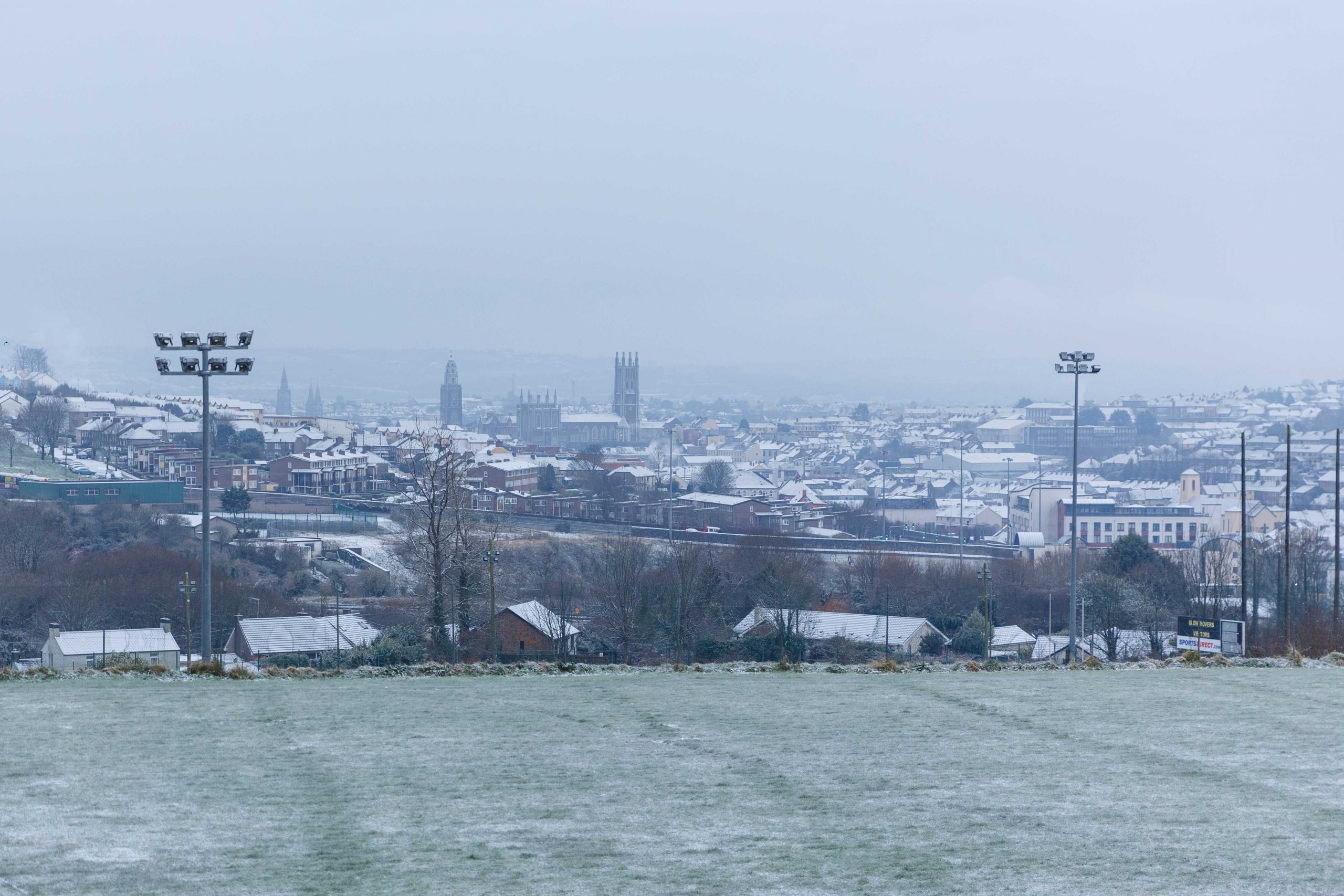
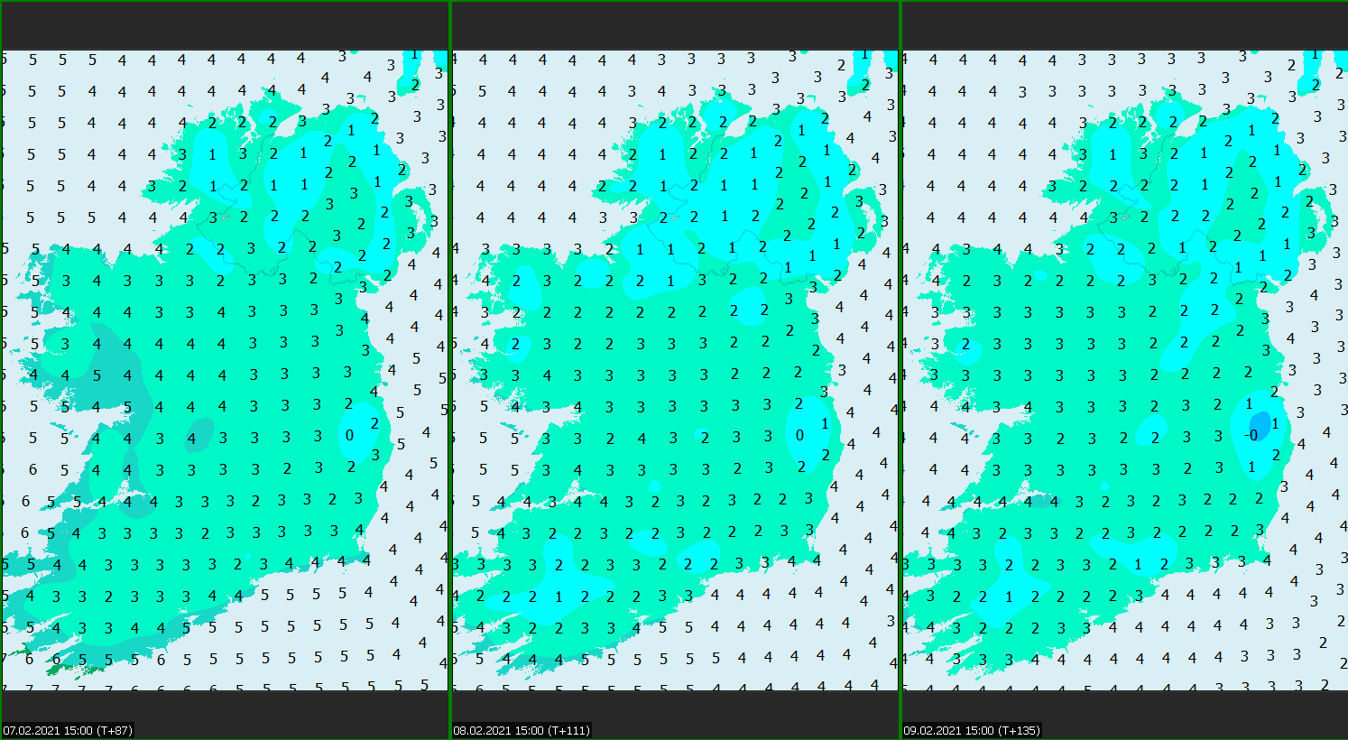
Daytime temperatures are expected to struggle in the low single figures, generally 1 to 3 degrees Celsius, which means any frost or ice that forms at night will be slow to clear, if it clears at all, so the risk of icy roads and footpaths will increase.
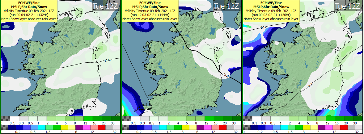
Snowfall is expected in the form of showers from Sunday onwards, but more especially later on Monday and during Tuesday. Any showers are likely to be restricted to eastern parts of Leinster and Ulster initially, but a few may push further inland during Tuesday.
There is still a high degree of uncertainty in the forecast from Wednesday 10th February onwards, but it looks as though Atlantic frontal systems will attempt to push milder air in from the south to displace the cold air in situ over Ireland.
It is still too early to predict how energetic or vigorous these frontal systems will be, and that has a downstream effect on the impact that this clash of mild and cold air may have over Ireland. If the frontal feature is vigorous, for example, it would likely make quick progress northeastwards over the country and any associated snowfall would be a transient affair with rain following behind. However, if the frontal system has less energy as it comes towards us and starts to become slow-moving either on its approach or as it tracks over us, we could end up in a situation where some parts of Ireland could see more significant and lasting snowfall.
Whatever the case snow-ice and/or low temperature warnings are likely in the coming days for conditions from Sunday through Tuesday, and forecasts for the latter part of next week will be updated and fine-tuned as we move closer to the time.
As always, you can stay up to date with Met Éireann’s weather and warnings by monitoring the following pages on our website:
https://www.met.ie/forecasts/national-forecast
For the most accurate and up to date 7-day, hourly forecast for your local area on the Island of Ireland go to met.ie. The latest weather advisories and warnings for Ireland are on the Met Éireann Warnings page. These services and more are available on our free app – available from the App store for iPhone, and Play store for Android. Follow us on Twitter and Facebook for extra weather and climate content.
But whatever the weather please follow the public health advice and help keep everybody safe from COVID-19.
Help support Cork Safety Alerts by becoming a member – Click Here