
Met Éireann has issued a Level Yellow Rain and Wind Weather Warning. The Yellow Rainfall Warning is valid from 08.00 Monday October 19th to 15.00 Tuesday October 20th
With the Yellow Wind Warning valid from 05.00 Tuesday October 20th to 15.00 Tuesday October 20th.
Persistent and locally heavy rainfall will bring a risk of river and surface flooding. The Office of Public Works have advised that there will be a period of very high astronomical Spring Tides approaching Highest Astronomical Tide (HAT) in all coastal areas, commencing this afternoon, Monday 19th until tomorrow, Tuesday 20th October 2020.
Whilst storm surge levels are currently relatively low in all coastal areas, they are predicted to significantly increase in the following coastal areas from this afternoon (Monday) and on Tuesday 20th October as follows:
0.55m at Cork Harbour
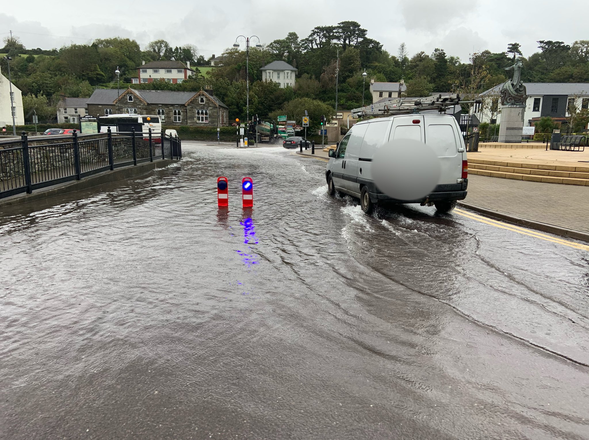
0.50m at Bantry Bay
The high tides, combined with strong winds and predicted storm surge levels, give an elevated risk of coastal flooding, in particular in areas such as Bantry, which are prone to coastal flooding.
Motorists are advised to drive with caution during heavy rain and not to drive through flood waters.
Property owners are advised to take precautions in low lying areas or areas susceptible to flooding.
Want to get €5, absolutely free? Sign up to the ‘Smart’ Debit Card – Curve today, and earn a fiver on us! Find out more here.