NDFEM Statement on Preparations for Storm Francis
The National Directorate of Fire and Emergency Management (NDFEM) Crisis Management Team met again this morning to assess the updated forecast from Met Éireann regarding Storm Francis, which will track over Ireland tonight and during Tuesday bringing a period of intense rainfall and very windy or stormy conditions. (Details of Weather Warnings below).
Local Authority Severe Weather Assessment Teams were advised yesterday to actively monitor Met Éireann and OPW forecasts during this period of unsettled weather and to consider activation of Crisis Management and Local Co-ordination arrangements, where deemed necessary..
Trees are in full leaf, with the potential for a number of trees to fall blocking roads and damaging power lines. ESB Networks are preparing for power outages with staff on standby to repair faults in all areas.
The Irish Coast Guard, An Garda Síochána and local authorities are relaying public safety advice based on the warnings issued by Met Éireann in advance of the arrival of Storm Francis.
Key public safety messages
1. This is an unusual storm for August – people should take account of Met Éireann weather warnings affecting their location.
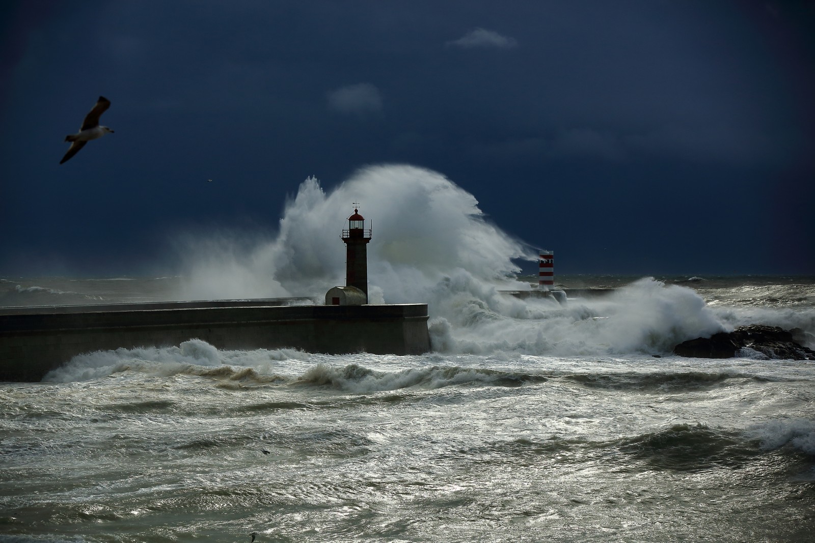
2. People are on holidays at coastal locations. Stay away from all coastal areas for the duration of the Met Éireann warnings.
3. All road users should be aware of the hazardous traveling conditions. Motorists should slow down and be aware of the dangers of fallen trees and debris. High sided vehicles are particularly vulnerable during this time.
4. As conditions will vary people need to take account of the local conditions and advice from their local authority.
5. It is critical that people never ever touch or approach fallen wires, stay safe and stay clear of fallen or damage electricity wires, and contact the ESB on 1850 372999.
The NDFEM Crisis Management Team will continue to co-ordinate with all local authorities and other response agencies.
Notes:
Tidal Conditions
OPW have not issued a high tide advisory, tides are coming off high Spring Tides levels. However, onshore winds could still cause some wave overtopping and localised coastal flooding
Weather Warnings.
Status Orange – Rainfall warning for Connacht, Cavan, Monaghan, Donegal, Wexford, Cork, Kerry and Waterford
Met Éireann Weather Warning
Intense rainfall associated with Storm Francis is expected at times Monday night and Tuesday, leading to accumulations of 40 to 60mm (higher values in mountainous areas). The most intense rainfall is expected to ease off in southern counties during Tuesday morning. Some flash flooding likely.
This rainfall will further elevate river levels and may result in river flooding also.
Want to get €5, absolutely free? Sign up to the ‘Smart’ Debit Card – Curve today, and earn a fiver on us! Find out more here.

